PARROT Anafi USA
Pre-Order with Leadtime of about 4-8 weeks
A DRONE DESIGNED FOR FIRST RESPONDERS AND ENTERPRISE PROFESSIONALS
TRUSTED AND SECURE - MADE IN USA, ENCRYPTION READY
- Designed for U.S. Army and manufactured in Massachusetts, USA
- Full AES 512 bits media and disk encryption, for complete data protection in case of loss or theft
- WPA2 connection authentication and encryption
- Anonymous flight data stored in secure European servers *only shared with Parrot by user consent
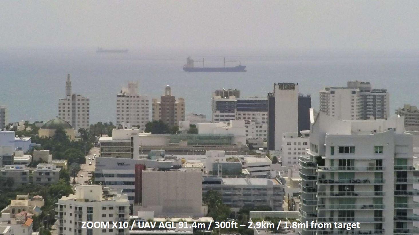
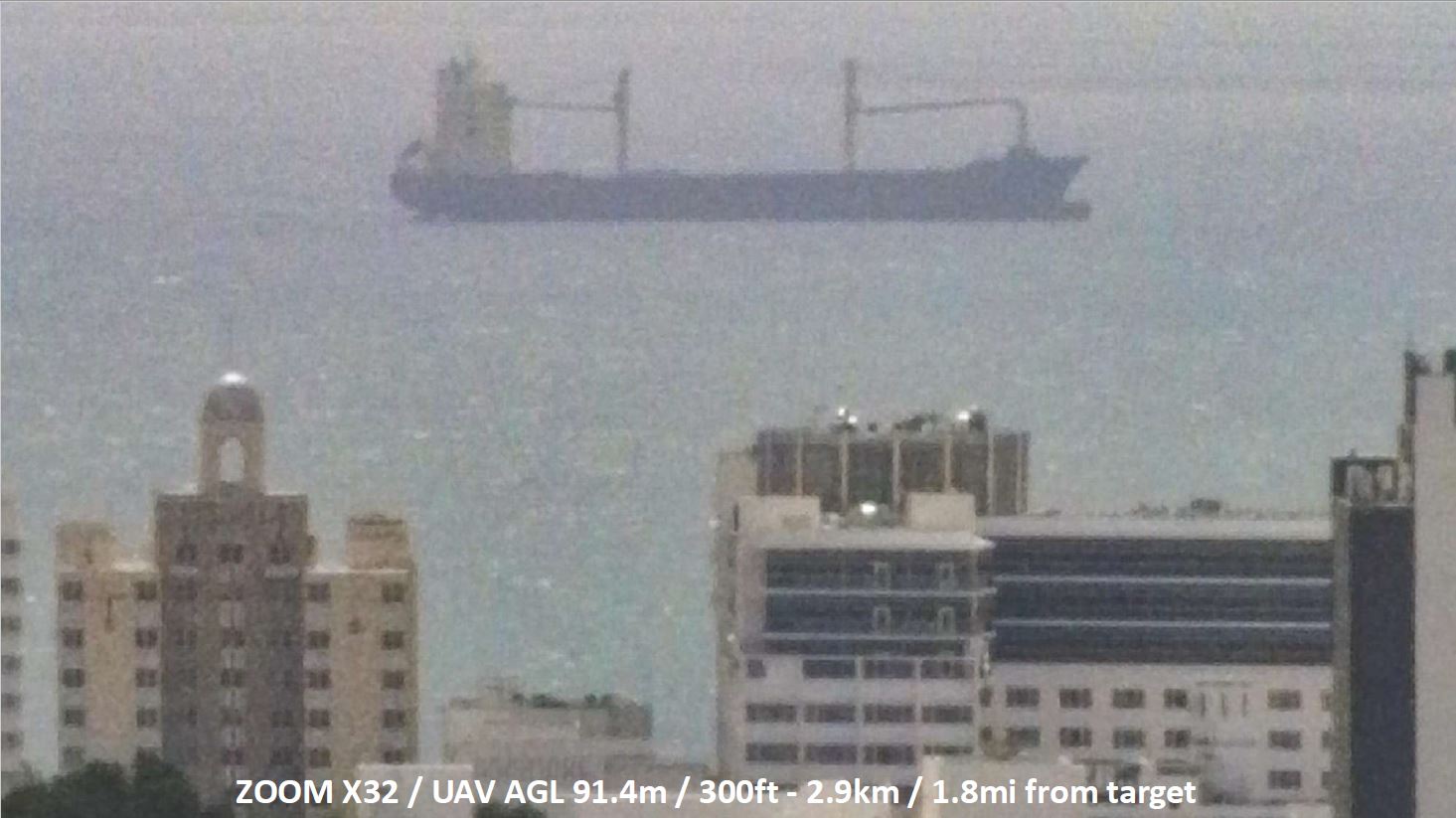
INCREASED SITUATIONAL AWARENESS - STABILIZED x32 ZOOM
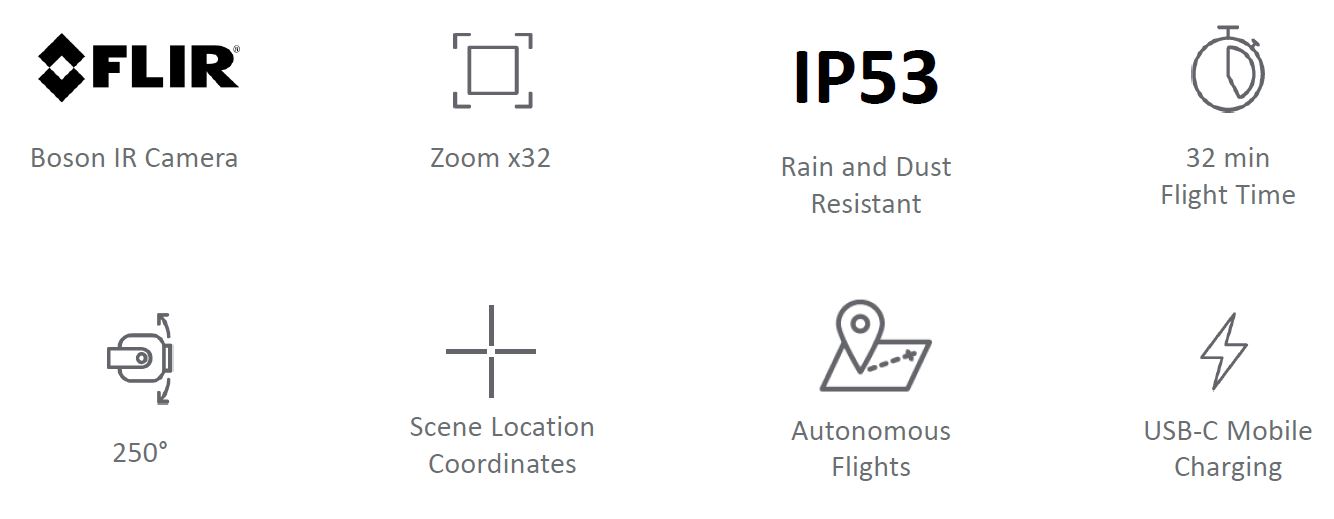
- CMOS 1/2.4" sensor and EO (electro-optical) 4K HDR tele-camera for x32 stabilized zoom and stealth observation capabilities
- Hybrid 3-axis stabilization (2-axis mechanical stabilization and 3-axis digital stabilization)
- Gimbal tilt range from -140° (beyond nadir) to +110° (over zenith)
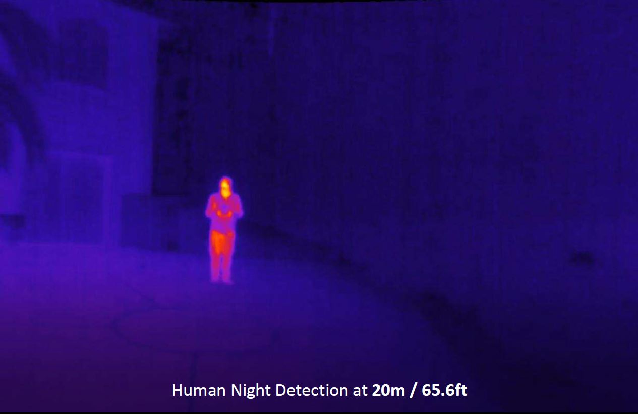
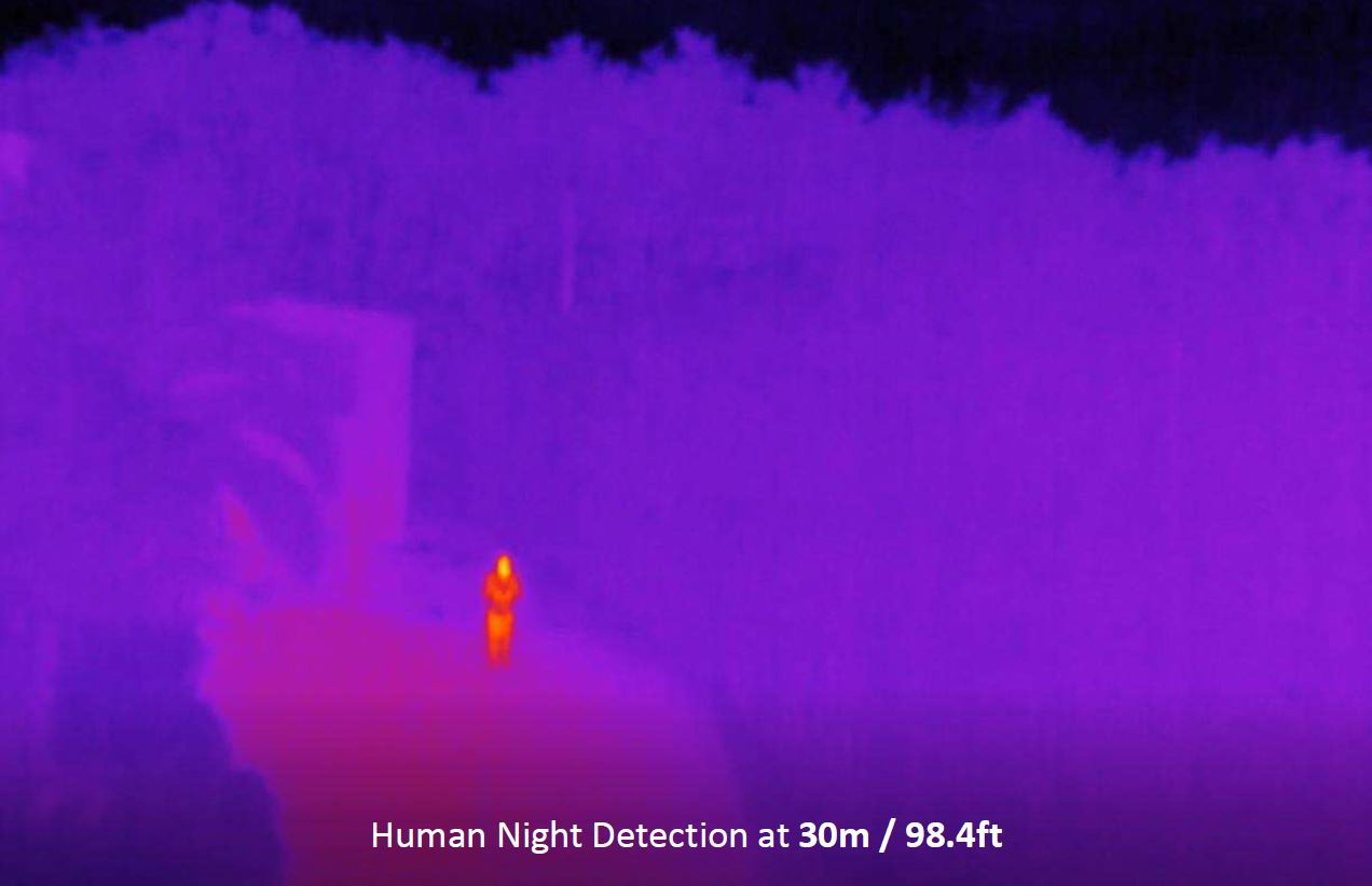
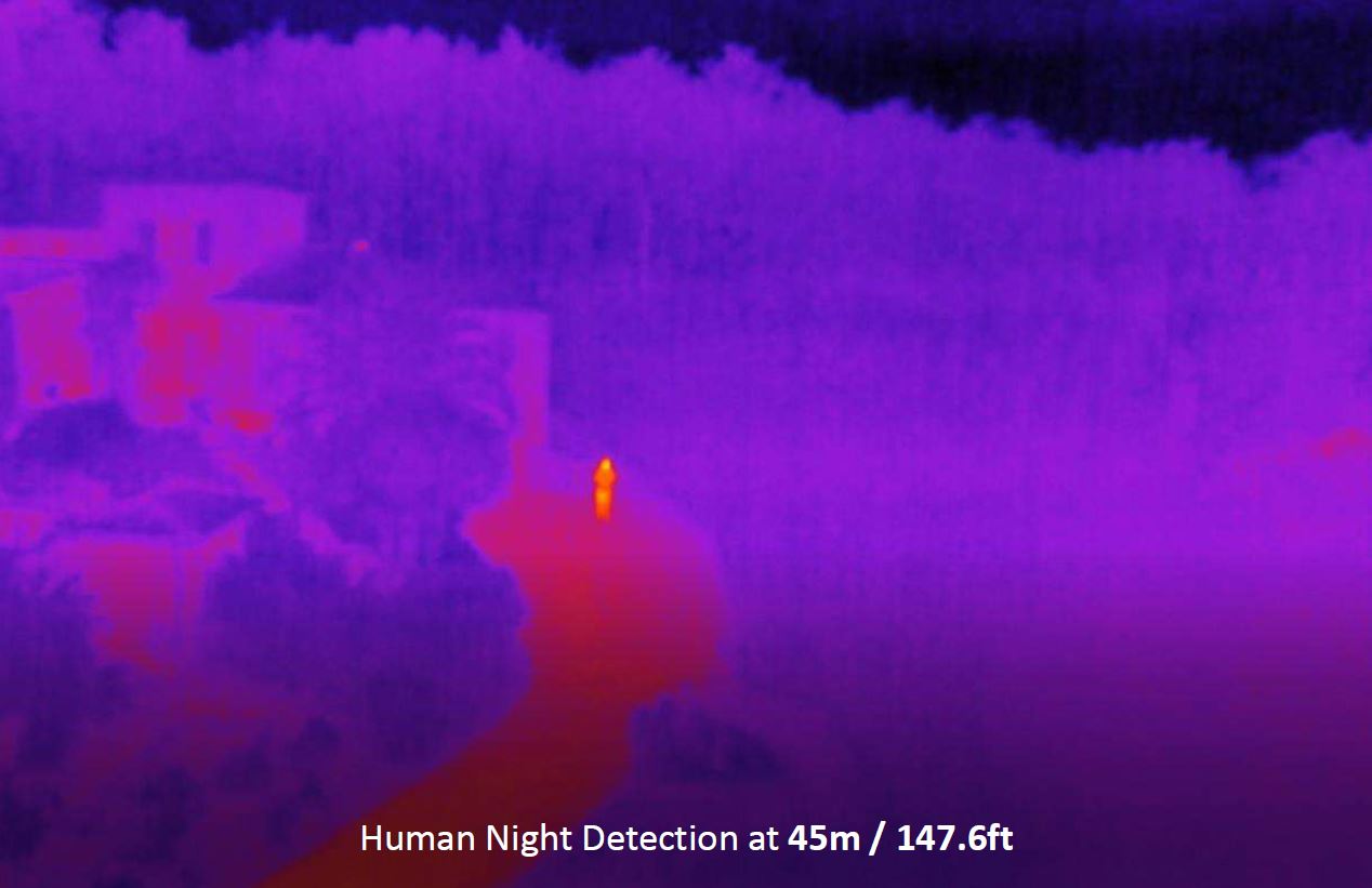
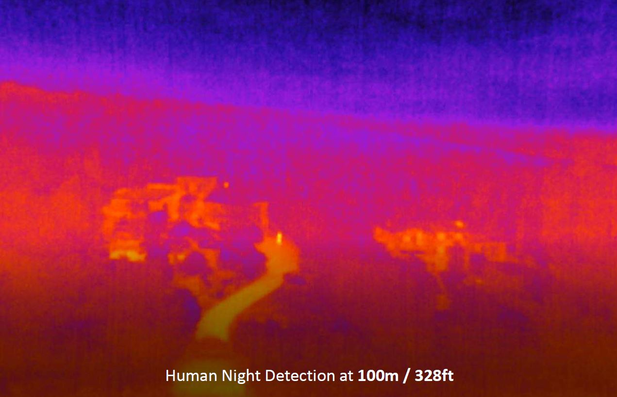
INCREASED SITUATIONAL AWARENESS - DUAL THERMAL & VISUAL IMAGERY
- FLIR Boson® 320 longwave infrared (LWIR) thermal camera: 320x256 resolution, 50° HFOV, temperature range -10° to +150°C
- CMOS 1/2.4" sensor and EO wide 4K HDR camera for visible spectrum short range reconnaissance
- Blended Thermal and RGB images for sharp understanding
- Replay, edit and analyze thermal media from the drone on the device, without downloading
ALL MISSION PLATFORM - FLY DURING CHALLENGING OPERATIONS
- IP 53: water and dust resistance
- Flies in winds up to 14.7m/s, 53kph, 32.9mph
- Hand Launch, and Hand Landing for impracticable ground
- 4km / 2,5mi maximum transmission range
ALL MISSION PLATFORM - SUCCEED IN ONE EXPEDITION
- 3x32 min Flight Time smart batteries to assure long mission
- Editable Return To Home Location
- Automatic RTH on low battery
- On-the-go portable charging system with USB Type-C charging available from multiple sources
ALL MISSION PLATFORM - DEDICATED FEATURES FOR ALL MISSION REQUIREMENTS
- Define points of interest, waypoints and landing points with their satellite navigation coordinates (GPS, GLONASS, GALILEO) for assisted or autonomous flights
- Visual tracking empowered by proprietary deep neural network and machine learning AI for assisted framing
- Direct onscreen reading of scene coordinates
- Compatible with Pix4Dcapture and Pix4Dreact for fast 2D offline modeling
ALL MISSION PLATFORM - OPTIMIZED FORM FACTOR
ANAFI USA
| Weight: | 485g / 1lb |
| Folded size: | 252 x 104 x 82 mm |
| 9.9 x 4.1 x 3.2 in | |
| Unfolded size: | 282 x 373 x 84 mm |
| 11.1 x 14.7 x 3.3 in |
SKYCONTROLLER 3
| Weight: | 283g / 0.63lb |
| Folded size: | 94 x 152 x 72 mm |
| 3.7 x 5.9 x 2.8 in | |
| Unfolded size: | 153 x 152 x 116 mm |
| 6.0 x 5.9 x 4.6 in |
ANAFI USA SE - ADDITIONAL FEATURES
- SE activation from FreeFlight for ease and security
- Activate the most powerful WiFi bandwidths anywhere in the world
- Control drone lights for stealth missions
- Disable the auto-RTH function to maximize airtime and range
- Import KML and TMS map tiles for up-to-date and optimal situational awareness
- Fly with a data-empty drone for complete operational secrecy
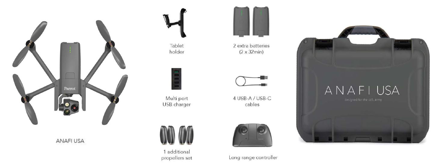
IN THE BOX
| Weight: | 4.6500 |

 USD
USD

